
Weather Update: Anticipating Snowfall in the Greater Toronto Area
As residents of the Greater Toronto Area (GTA) prepare for another winter day, meteorologist Bill Coulter offers a detailed outlook on the changing weather conditions. While the morning sky seems clear, a shift is imminent. Seasonal experts remind us that winter can be unpredictable. This week, snow is forecasted, though it will not mirror the significant snowfall experienced last week.
Coulter emphasizes that today’s snowfall warning is issued as a precaution. The expectation isn’t for the dramatic 50 centimeters observed previously but rather a more manageable accumulation of 5 to 8 centimeters. However, certain areas on the east side of the GTA might receive an enhanced amount of 10 to 15 centimeters due to anticipated lake effect snow. Such information is crucial for anyone planning to travel during the day.
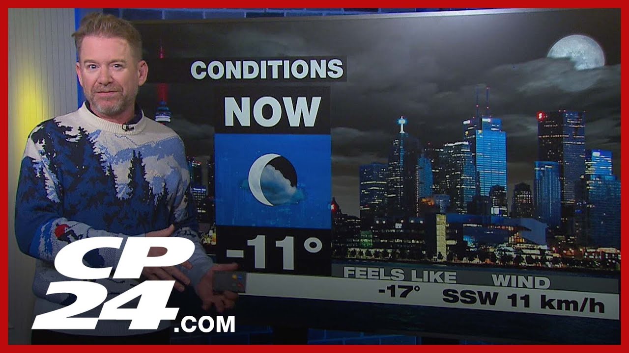
Early in the morning, temperatures hover around -11 degrees Celsius, with wind chill making it feel like -7. These conditions make for an uncomfortably cold start, and residents are advised to bundle up before heading outdoors. Winds have begun to pick up, especially along the waterfront, where gusts may reach 35-45 kilometers per hour. These gusty winds are expected to stir moisture off Lake Ontario, predominantly affecting the eastern parts of the GTA.
The forecast indicates that the system snow will begin rolling in around 10:00 a.m. Until then, meteorologists will closely monitor real-time satellite radar to assess the development of weather patterns. Awareness of these factors is vital, particularly for commuters. Those planning to travel should allow for extra time, as driving conditions may deteriorate as the snow begins to fall.
As the day progresses, temperatures are projected to reach a high of -2 degrees Celsius but only late in the day. By midday, expect colder conditions near -5, coupled with persistently cool, gusty wind chills. Additionally, while the snow will be light and fluffy, it will also be rather mobile, potentially complicating visibility and driving conditions.
Drivers are especially advised to be vigilant during the midday commute. While the morning rush may see lighter impacts, the evening commute could pose significant travel challenges as accumulations increase throughout the day. The advisory is clear: stay alert and adjust plans accordingly.
In terms of current road conditions, reports indicate that while the major highways initially had some snow removal efforts, they are now largely clear. Lisa, a traffic reporter, highlights that the westbound 401, known to be one of the busiest stretches, shows no unusual delays. Similarly, the 404 down to Highway 7 appears to be in good shape, facilitating a smooth drive into the downtown area.
Yet, there are pockets of concern. A minor collision reported at the intersection of Macauan and Milner could lead to some slowdowns for those traveling off major routes. Attention to these local conditions is critical, as even small incidents can significantly impact overall travel times.
As winter unfolds, adaptability becomes vital for everyone in the GTA. Planning ahead, keeping an eye on the evolving weather, and being mindful of changing traffic conditions will make navigating this snowy season much easier. The next few hours promise to usher in a shift in conditions; therefore, it’s prudent to stay informed. Stay warm, drive safely, and prepare for the weather’s volatility as we move through the day.